Help Grade 5 NGSS science students master map vocabulary—physical and political maps, globes, legends, scale, compass rose, latitude and longitude, topographic and climate maps, contour lines, and more with this print-and-go crossword pack. Three differentiated versions (V1, V2, and V3) make it simple to adapt for review, practice, or enrichment, and a complete teacher answer key follows each puzzle.
What students practice
- V1 (10 answers, with word bank): physical, political, landform, compass, symbol, legend, globe, scale, north, and title
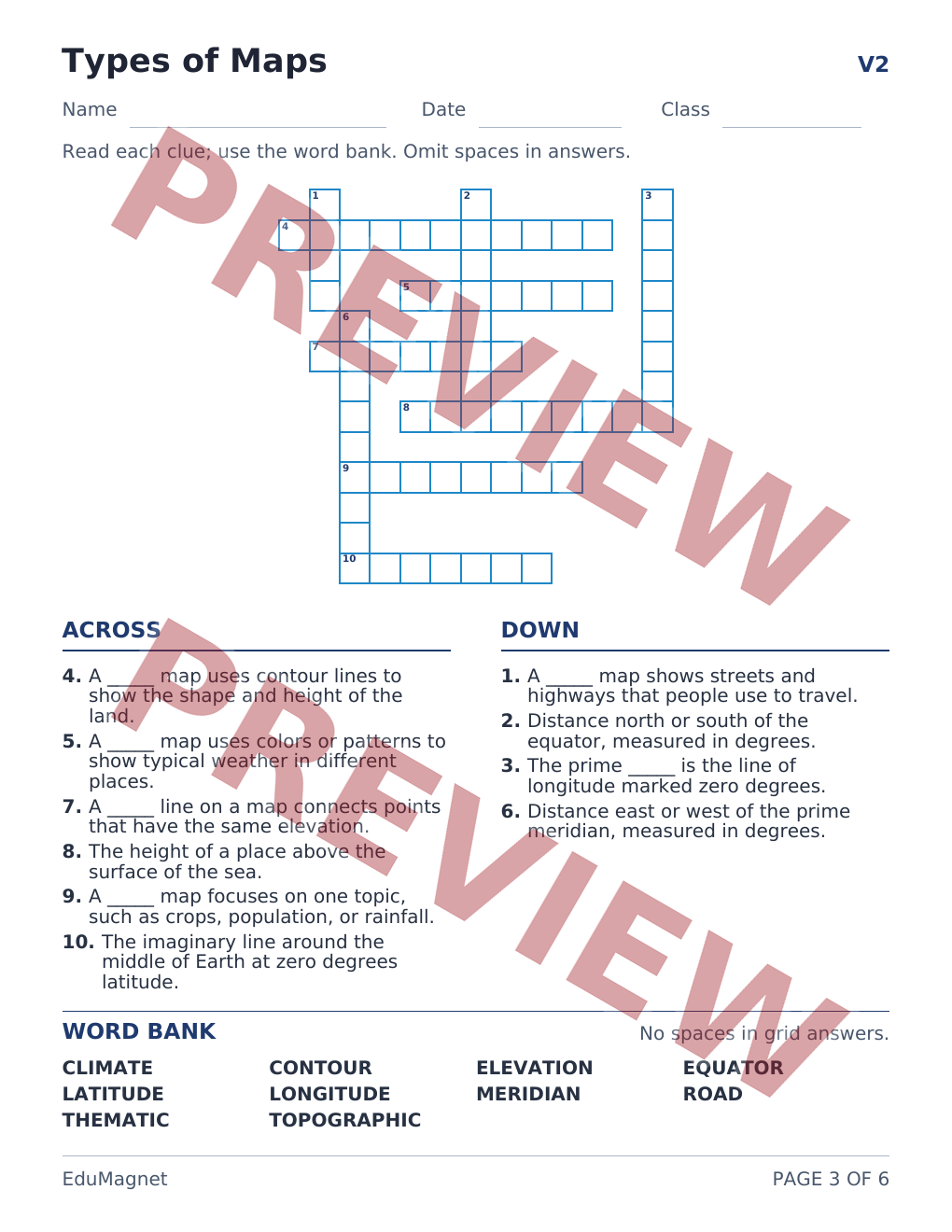
- V2 (10 answers, with word bank): topographic, latitude, longitude, elevation, thematic, equator, meridian, contour, climate, and road
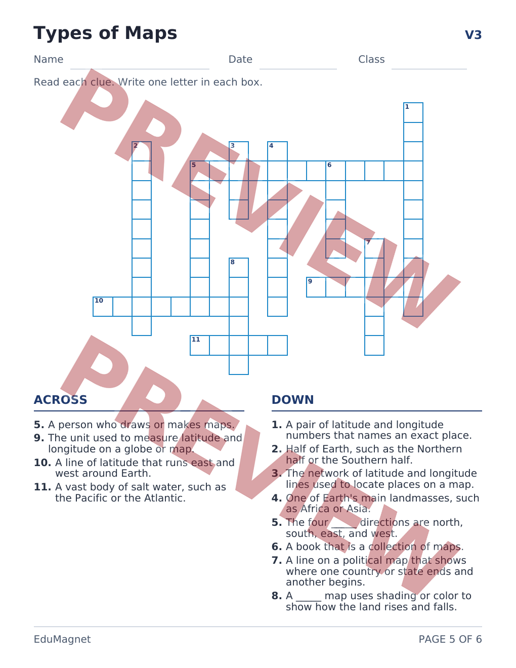
- V3 (12 answers, no word bank): cartographer, coordinates, hemisphere, cardinal, continent, parallel, border, degree, relief, atlas, ocean, and grid
Students read Across and Down clues and write one letter in each box (spaces are omitted in multi-word grid answers).
What’s included (6 pages)
- V1 crossword + answer key (10 answers) — grid, Across/Down clues, and a word bank on the student page; the answer key is the next page
- V2 crossword + answer key (10 answers) — grid, Across/Down clues, and a word bank on the student page; the answer key is the next page
- V3 crossword + answer key (12 answers) — grid and Across/Down clues on the student page (no word bank); the answer key is the next page
- Name, date, and class lines on every student page
- 6-page printable PDF (US Letter, 8.5 × 11 inches) — print and go, no prep
How to use it in class
- Science warm-ups and centers
- Differentiated independent practice, early finishers, or homework
- Vocabulary review or a quick formative check before a lab or investigation
- Sub plans — print and go
This pack supports Grade 5 NGSS Earth and Space Science as students learn the types of maps and map tools used to describe Earth's systems. It is a supporting alignment to 5-ESS2-1 (Develop a model using an example to describe ways the geosphere, biosphere, hydrosphere, and/or atmosphere interact), because physical, climate, and topographic maps help students show how land, water, and air interact. The closest NGSS performance expectation that directly names maps is 4-ESS2-2 (Analyze and interpret data from maps to describe patterns of Earth’s features), so this lesson also works as Grade 5 review of that map-reading skill. This crossword is vocabulary practice, not a complete 5-ESS2-1 modeling task.
At a glance
- Grade: 5
- Subject: Science
- Pages: 6 (US Letter printable PDF)
- Standards: NGSS-aligned (supporting fit to 5-ESS2-1; Grade 5 review of 4-ESS2-2)
- Format: Instant digital download after purchase


 EduMagnet